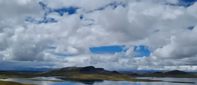
Precision
Our processes guarantee pixel metric precision even without control points
Our systems employ proprietary optics with individual calibration that allows minimizing distortions during the photogrammetry process.
All the process, from the sensor, satellite data, and even post-processing filters have been optimized seeking the highest quality of deliverables.
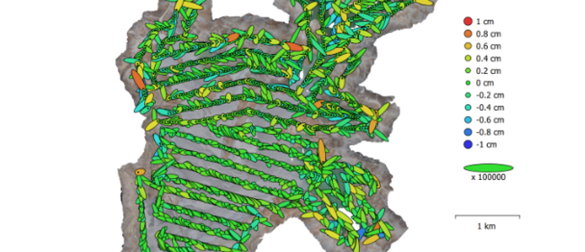
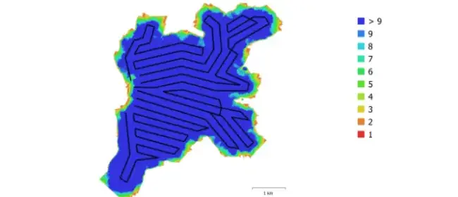
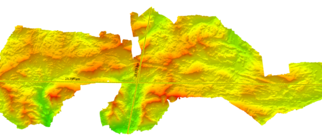
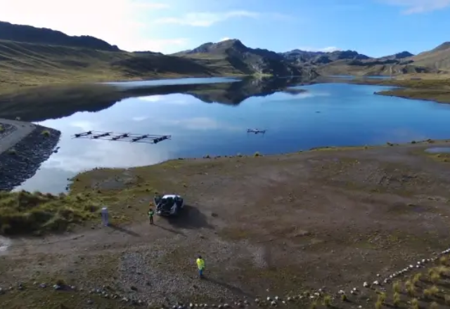
Positions of cameras and error estimators.
Photogrammetric report:
GEOX PPK, manages to obtain a combined error of 3mm in photo positioning which allows obtaining precision within 3 centimeters on the ground even without photocontrol points.
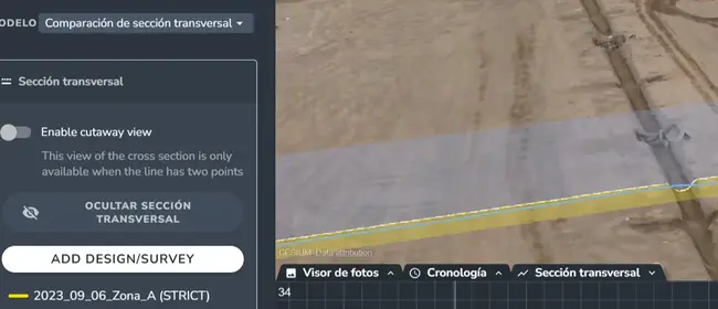
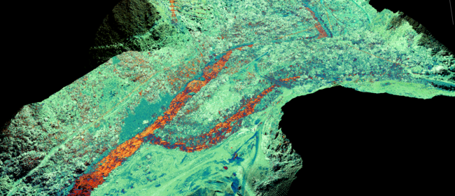
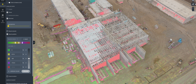
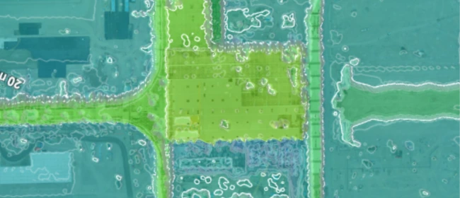
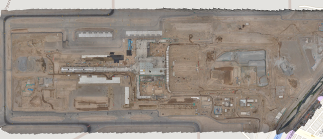
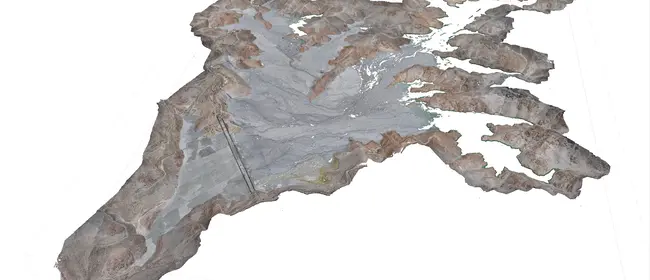
The data can be processed, visualized, and manipulated by the client's team in the cloud, to obtain volumes, changes in surface, measurements, etc., with time comparisons.
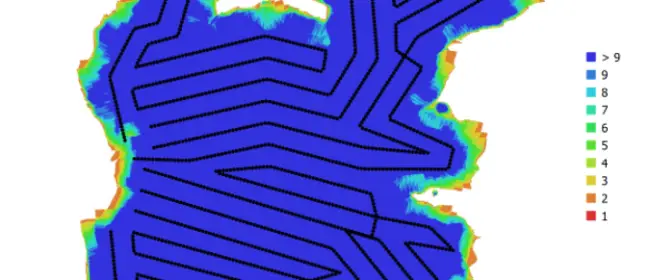
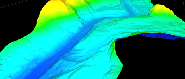
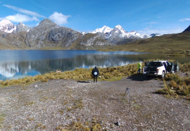
Positions of cameras and error estimators.
Photogrammetric report:
GEOX PPK, manages to obtain a combined error of 3mm in photo positioning which allows obtaining precision within 3 centimeters on the ground even without photocontrol points.