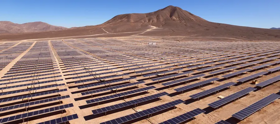
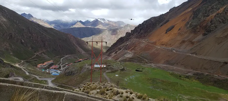
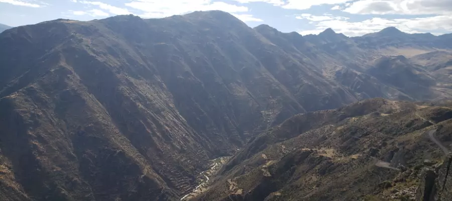
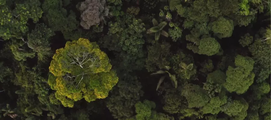
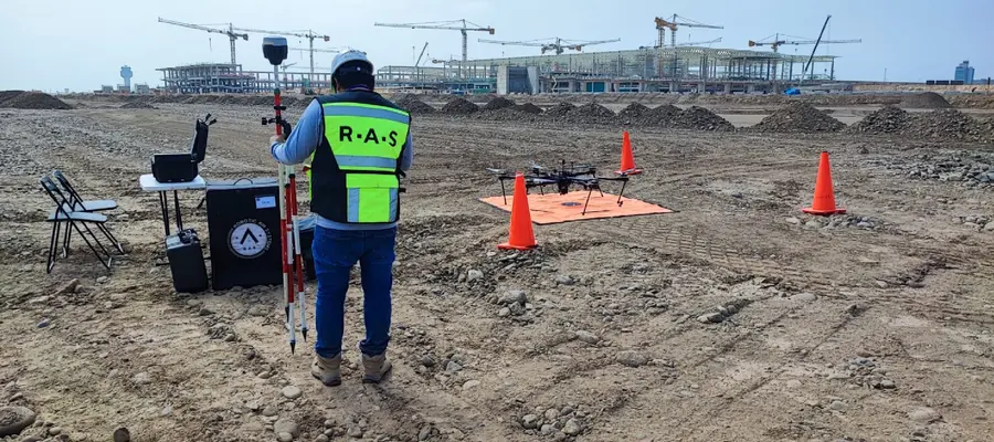
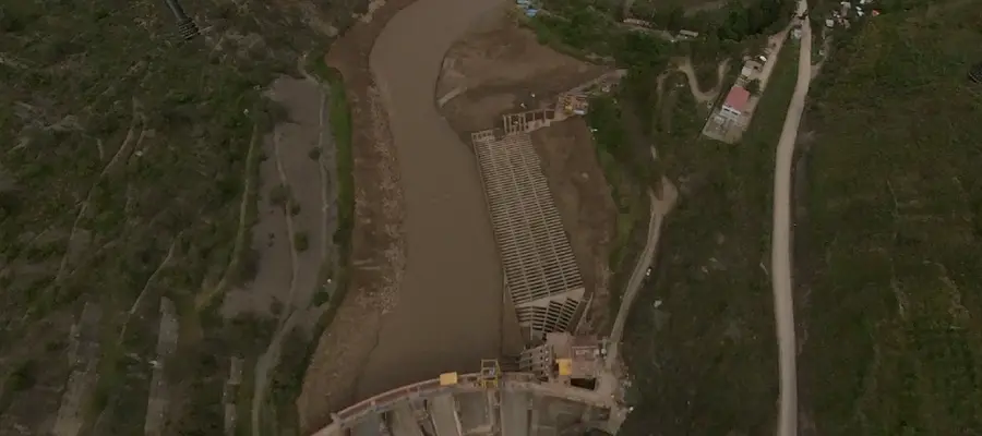
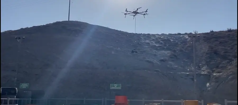
ROBOTIC AIR SYSTEMS

Banner Dron Services

Specialized Services and Custom-Developed Applications.

We design, manufacture, and operate aircraft and applications tailored to our clients' needs, revolutionizing the quality of data for decision-making.

Services

Making the right decisions requires the best available information.

RAS makes this possible by offering highly precise aerial data capture services.

Photogrammetry

Precision and efficiency transforming landscapes into data.

Making the right decisions requires the best available information.

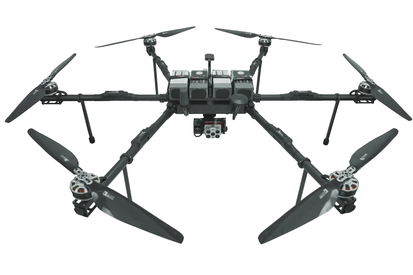
High-density aerial data with millimeter-precision for ultra-detailed terrain and structure digitization.

Deliverables for GIS, CAD, and BIM workflows.

Topographic maps, surface and terrain models, orthomosaics, contour lines, volume calculations, stockpiles, and more.

LiDAR Scanning

Speed and precision for exceptional results providing an accurate view of any environment.

Making the right decisions requires the best available information.

Precise, fast, and efficient laser data for detailed digitization of complex environments, vegetated areas, reflective surfaces, complex structures, and power lines.

Speed, precision, classification, and versatility.

Topography

Millimeter-precision speed for aerial data collection.

Making the right decisions requires the best available information.

High-quality geodetic data with precision for terrain and structure georeferencing.

Deliverables for GIS, CAD, and BIM workflows. Leveling, polygonation, rectification, conversion, and coordination of coordinate systems and more.

Magnetometry

Precise and efficient solutions for identifying mineral resources to subsurface evaluation.

Making the right decisions requires the best available information.

Our autonomous systems enable geophysical exploration in inaccessible places with speed, efficiency, and no human risk.

Allows the analysis of magnetic fields to visualize the subsurface, underground structures, and geological anomalies.

Efficient exploration, cost savings, and a non-invasive exploration approach.

Thermography

Detection of energy losses or infrastructure evaluation, specialized solutions for any need.

Making the right decisions requires the best available information.

Thermal images for quantitative and qualitative analysis of thermal variations.

Calibrated temperature recording, early detection of electrical faults, insulation gaps, energy leaks, and thermal leaks in insulation and buildings.

Multispectral

A new dimension of data, expanding your perspectives with the ability to see beyond the visible.

Making the right decisions requires the best available information.

Capture and analysis of data in multiple spectral bands for enhanced analysis, with exceptional coverage and precision.

Precision agriculture, environmental monitoring, crop health, vegetative indices, water quality, vegetation changes, and land use.

We specialize in obtaining and processing highly precise aerial data in complex environments and developing custom equipment and applications.

Each member of the RAS team has years of experience and learning to deliver the results our clients expect after each flight mission.

Applications

Aerial Inspections

Energy Production, Transportation, and Storage.

Aerial inspections offer considerable benefits by improving efficiency and safety, early problem detection, maintenance planning, and cost reduction in managing critical assets for energy generation and distribution.

Solar Plants
Solar Plants
Wind Farms
Wind Farms
Power Lines
Power Lines
Solar Plants
Solar Plants
Wind Farms
Wind Farms
Power Lines
Power Lines
Advantages and Benefits
  • Rapid and Efficient Inspections: The use of drones allows for thorough inspections over extensive areas efficiently and in significantly shorter times compared to traditional methods. They can fly over large and hard-to-reach surfaces, optimizing the inspection process.
  • Greater Accuracy in Data Analysis: Data collected by drones can provide a detailed and precise view of the state of energy infrastructure, facilitating analysis and decision-making based on concrete data.
  • Early Detection of Problems: Drones equipped with high-resolution cameras and specialized sensors can detect and identify potential problems, such as damage to wind turbines, solar panels, transmission line failures, corrosion in structures, leaks, or any other defects, allowing preventive measures before they become major issues.
  • Enhanced Safety: Using drones for inspections eliminates the need for personnel to access dangerous or hard-to-reach areas, reducing workplace risks.
  • Maintenance Optimization: Regular inspections allow precise monitoring of the state of infrastructure, leading to more effective maintenance planning and extending the lifespan of assets.
  • Recording and Tracking: Aerial inspections provide a visual record over time, allowing historical monitoring of the evolution of any potential deterioration or changes in facilities.
  • Cost Reduction: Dron inspections are more cost-effective compared to conventional methods, avoiding the need for expensive equipment or elevated platforms, reducing inspection-associated expenses.

Aerial Inspections

Environmental

The use of drones for environmental aerial inspections monitors conditions and environmental impacts at specific points, allowing detailed, rapid, and less intrusive analysis of natural areas, contributing to conservation, identifying environmental problems, or possible impact, and responding quickly to disasters, with minimal impact on the natural environment.

Soil Impact
Soil Impact
Forest Density
Forest Density
Air Quality
Air Quality
Soil Impact
Soil Impact
Forest Density
Forest Density
Air Quality
Air Quality
Advantages and Benefits
  • Detailed and Exhaustive Monitoring: Drones can fly over extensive areas and access remote lands, allowing detailed monitoring of ecosystems, natural habitats, conservation areas, or hard-to-reach zones.
  • Identification of Environmental Changes: High-resolution images captured by drones can detect environmental changes, such as deforestation, soil erosion, vegetation changes, water pollution, or any other environmental impact, facilitating evaluation and corrective measures.
  • Response to Natural Disasters: In natural disaster situations, drones can be used to quickly assess the extent of damage and to plan and direct rescue and recovery efforts.
  • Endangered Species Monitoring: For biodiversity conservation, drones can be useful for monitoring endangered species or those in protected areas, without causing disturbance or stress to the animals.
  • Environmental Impact Reduction: By using drones instead of conventional methods that may involve motorized vehicles or additional infrastructure, the environmental impact of monitoring and surveillance operations is reduced.
  • Environmental Project Planning: The use of drones for environmental inspections provides detailed visual data that can be useful in planning environmental projects, allowing more informed decision-making.

Aerial Inspections

Engineering

Aerial supervision with drones in engineering projects offers an efficient, detailed, and safe way to inspect, supervise, and document the planning, development, and maintenance of projects of all sizes, bringing significant improvements in planning, cost and risk reduction, and greater project management efficiency.

Road Supervision
Road Supervision
Planning and Construction
Large-scale Projects
Road Supervision
Road Supervision
Planning and Construction
Large-scale Projects
Advantages and Benefits
  • Detailed and Exhaustive Inspection: Drones allow for detailed and exhaustive aerial inspections of construction sites, providing a comprehensive and detailed view of the project's progress from multiple perspectives.
  • Progress Monitoring: With regular inspections, precise monitoring of project progress can be achieved, allowing for the comparison and contrasting of data to assess whether the work is being done according to the plan and within the expected timelines.
  • Early Detection: Drones equipped with high-resolution cameras can identify potential issues, construction errors, deviations in plans, and allow more detailed structure supervision, enabling timely corrections.
  • Planning and Design Optimization: Images and data collected by drones can be used to improve project planning and design, allowing adjustments or corrections before advancing to more advanced stages.
  • Improved Safety and Risk Management: By allowing inspection of difficult or dangerous areas for personnel, drones help improve site safety and reduce risks for workers.
  • Cost and Time Reduction: By identifying issues early, the likelihood of additional costs due to corrections in advanced construction stages is reduced, also helping to maintain established timelines.
  • Detailed Documentation and Reports: Images and videos collected by drones provide detailed visual documentation of the project's progress, which can be useful for reports, presentations, and as a historical reference for the project.

Cargo Transport

Autonomous Aerial Cargo Transport

Autonomous aerial cargo transport with drones offers an efficient and versatile solution for the delivery and transport of goods, with notable benefits in terms of speed, access to remote areas, reduced costs, and the potential to transform logistics and goods transport across various industries.

Autonomous Transport
Cargo Delivery
Cargo Delivery
Medical Assistance
Medical Assistance
Autonomous Transport
Cargo Delivery
Cargo Delivery
Medical Assistance
Medical Assistance
Advantages and Benefits
  • Fast and Efficient Delivery: Autonomous dron transport can deliver packages weighing up to 20 kg quickly and directly to specific destinations, avoiding delays that ground transportation may experience and significantly reducing delivery times.
  • Access to Remote Areas: Drones can access remote or hard-to-reach areas, delivering supplies or assistance in areas where conventional transportation methods may have limitations.
  • Cost and Emission Reduction: Autonomous aerial dron transport can be more cost-effective than traditional ground delivery methods, reducing operating costs and emissions associated with road transportation.
  • Delivery Flexibility: Autonomous drones can perform scheduled deliveries with precision, allowing efficient scheduling and coordination of multiple deliveries to different locations.
  • Safety and Tracking: Advanced navigation systems and built-in safety protocols in drones ensure the safety of the cargo, and tracking technology enables real-time shipment tracking.
  • Applications in Emergencies and Medical Assistance: Drones can transport medical supplies, such as medications or emergency equipment, to remote areas or in emergency situations, potentially saving lives by providing immediate medical care.
  • Potential for Commercial Logistics: Autonomous dron transport has significant potential to transform commercial logistics by enabling fast and flexible product deliveries to customers, enhancing customer satisfaction, and improving trade efficiency.